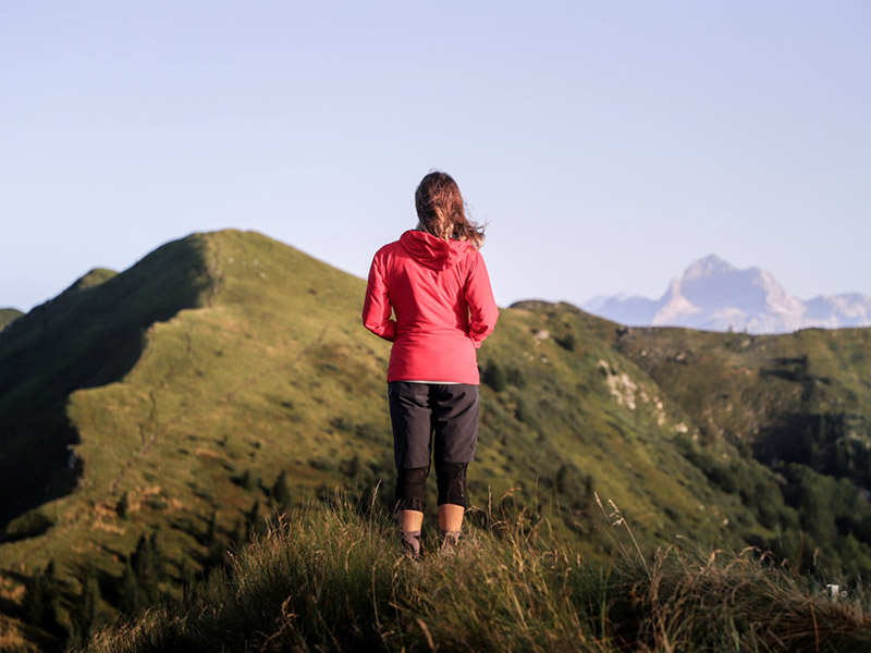
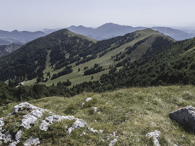
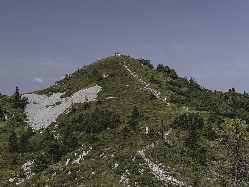
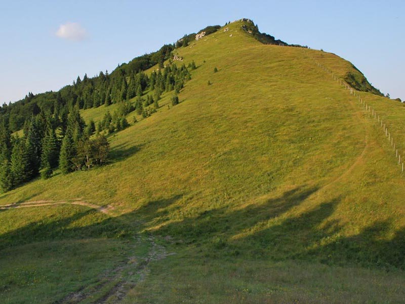
An altitude of 1,307m makes Soriška planina a perfect starting point for many shorter and longer trips. From the parking place under the Brunarica cabin you can embark on one of easy hiking routes and head for nearby peaks that offer fantastic views, such as Dravh (1,548m) and Lajnar (1,549m), Slatnik (1609 m), all the way to Možic (1,603m) and further on to Šavnik (1,516m).
More experienced hikers can make their way further towards the east, across Vrh Bače to Kobla (1,450m) and perhaps even to Črna prst (1,792m). Hiking trails also open towards the east, across Danjarska planina to a 1,679m high lookout location Altemaver, and further on to the hut on Ratitovec (1,667m).
Hikers can explore the mountain scenery either in summer or in winter. In winter we recommend you check the weather forecast before you head out and wear appropriate equipment. For more information on selected tours you can turn to the obliging staff at guesthouse Lajnar reception.
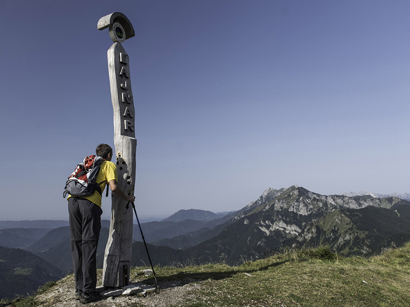
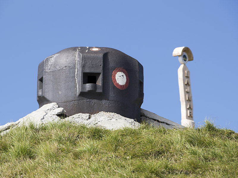
LAJNAR 1549 m
Part of: Julian Alps
ing: Bohinjsko sedlo, 1277 m
Walking time: 40 minutes
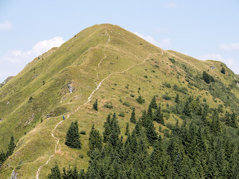
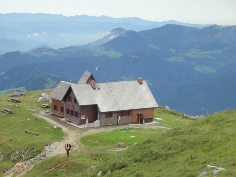
Mt. Lajnar is one of Soriška planina peaks, located north from the parking lot. The top Lajnar is also the high point of the ski slopes of Soriška planina with magnificent views on Mt. Dravh, Mt. Porezen, Mt. Črna prst, Mt. Triglav, Karavanke mountains, Mt. Ratitovec. You can find a mountain stamp on the top at the steel observation dome. Starting point is at the parking lot at Soriška planina. Look for the marcations for the mountain path.
MOŽIC 1602 m
Part of: Julian Alps
ing: Bohinjsko sedlo, 1277 m
Walking time: 1 hour 15 min
Mt. Možic is a mountain peak on the altitude of 1602m, located west from Soriška planina. From the top we can see the Bohinj mountain chain and Bohinj lake, Mt. Triglav, Karavanke mountains and Bohinj valley . Starting point is at the parking lot at Soriška planina. Look for the marcations for the mountain path.
SLATNIK 1609 m
Part of: Julian Alps
Starting point: Bohinjsko sedlo, 1277 m
Walking time: 1 hour
Mt. Slatnik is one of Soriška planina peaks, on the altitude of 1609 m, located west from Soriška planina. From the top we can see the hills of Škofja Loka and Cerkno, Mt. Črna prst, Mt. Triglav, Karavanke mountains and Kamnik Savinja Alps . Starting point is at the parking lot at Soriška planina. Look for the marcations for the mountain path.
DRAVH 1547 m
Part of: Julian Alps
Starting point: Bohinjsko sedlo, 1277 m
Walking time: 40 min
Mt. Dravh is one of Soriška planina peaks, on the altitude of 1547 m, which is located between Sorica village and Soriška planina. From the top we can see the hills of Škofja Loka and Cerkno, Mt. Črna prst, Mt. Triglav, Karavanke mountains and Mt. Ratitovec. Starting point is at the parking lot at Soriška planina. Look for the marcations for the mountain path.
RATITOVEC (Altemaver) 1678 m
Part of: Škofjeloško, Cerkljansko hribovje in Jelovica
Starting point: Bohinjsko sedlo, 1277 m
Walking time: 3 hours 15 min
Altemaver is the highest peak of Ratitovec mountain on the altitude of 1678 m. From the top we see the Julian Alps, Jelovica plateau, Karavanke mountains, Kamnik Savinja Alps, Škofja Loka and Cerkno hills. Starting point is at the parking lot at Soriška planina. Look for the marcations for the mountain path.
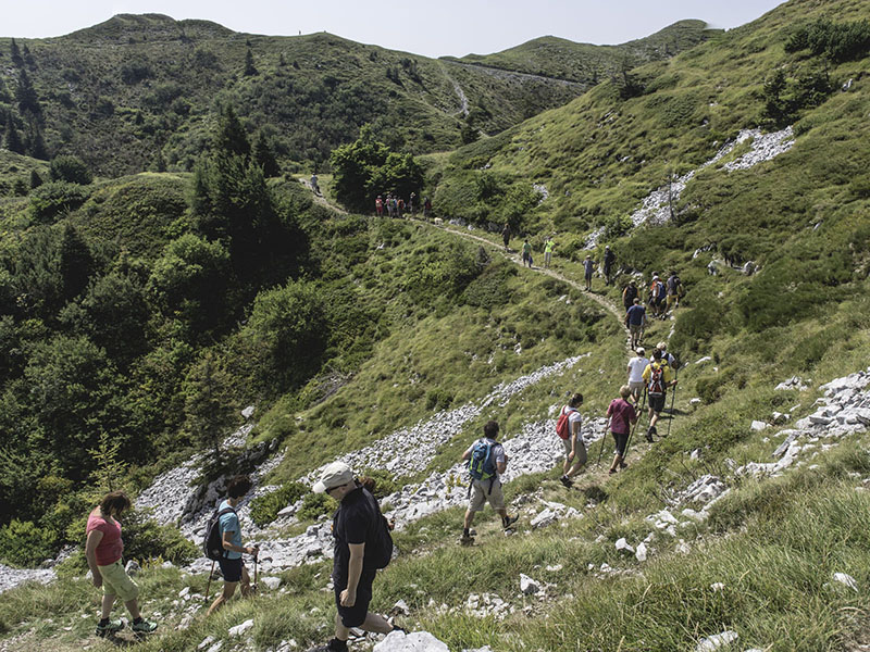
JULIANA TRAIL
Although the Juliana Trail is a modern acquisition of the Julian Alps Association, it still follows the ancient and centuries-old paths of the local people. They have guided the lives of the people of the Julian Alps for centuries, linking their fields and pastures and strengthening the ties between isolated homesteads. It is the cohesion of communities that has charted the life’s paths of generations. The Juliana Trail takes you through the Julian Alps as they were known in the past and as they are still lived today – a step away from everyday life and a little bit back in time, but always with an eye forward. Soriška planina is located near some stages of the long-distance route and is both, a good starting point and a place to stop on the way.
More informations: https://www.bohinj.si/pohodnistvo/juliana-trail/
THE LOKA TRAIL
The Loka Trail is a long-distance circular hiking trail, consisted of 12 stages.
The trail runs through the most beautiful, culturally diverse and scenic part of the Škofja Loka, Cerkno and Idrija hills. The trail runs along the hilly region and takes you over the ridges with views all the way to the Alps on one side and the Ljubljana Basin on the other.
The trail starts and ends in Škofja Loka. One-day hiking stages are between 8 and 25km long. Each stage takes 4 to 7 hours to walk. The average difference in height that a hiker covers on each stage is 600m. Two stages also include Soriška planina.
More informations: https://www.loskaplaninskapot.si/pot/